


Cerro San Lorenzo Expedition Report
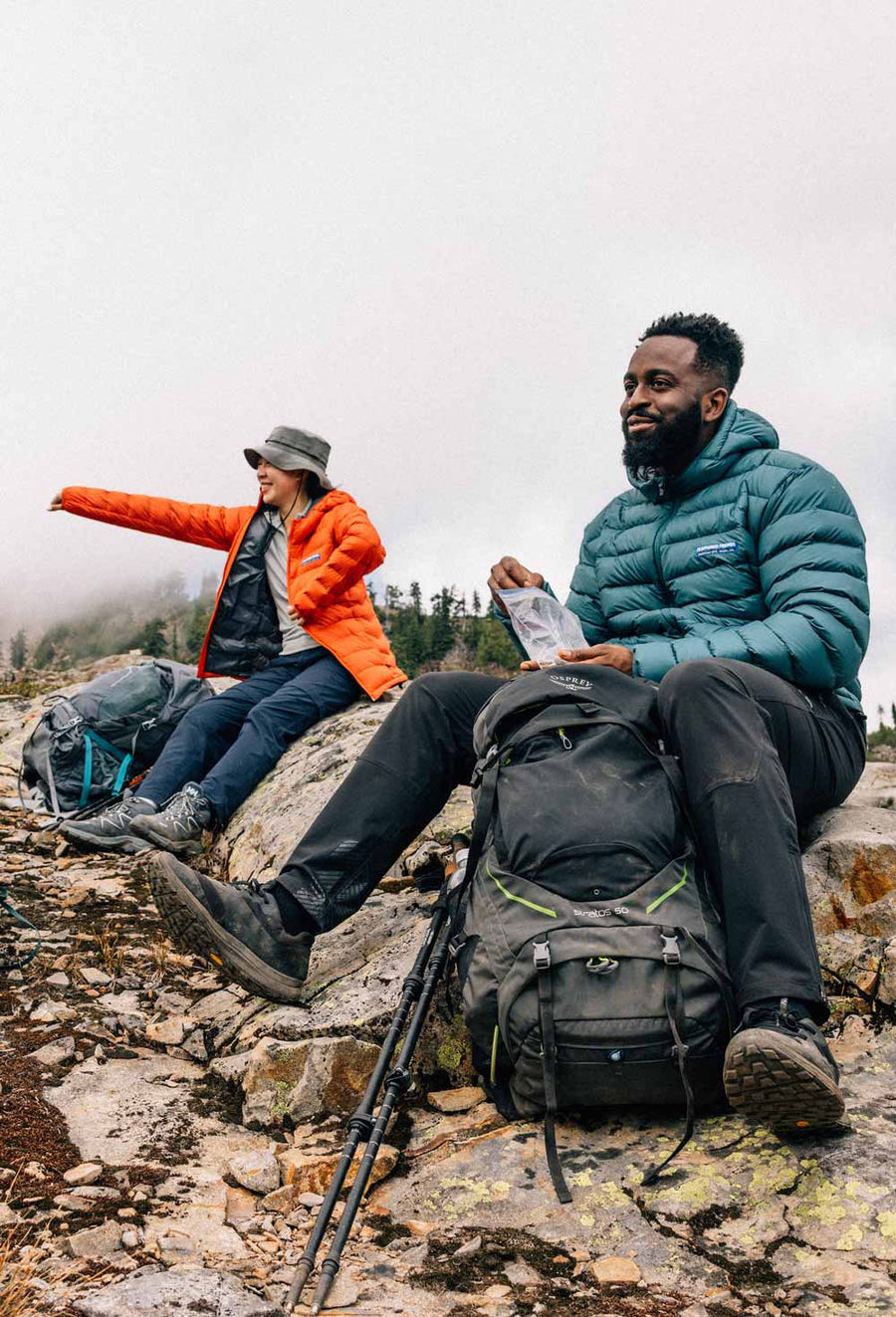
Expedition report from prolific climber and alpinist, Jay Smith. Jay has been climbing for “longer than he cares to admit,” and put up nearly 2,000 new routes across the world. His climbing partner, Jim Donini, is another prolific man of the mountains who was president of the American Alpine Club from 2006 to 2009 and is known for his routes in Patagonia and Alaska. Words and images by Jay Smith.
Not all expeditions go as planned. Read on to see how these two experienced alpinists responded to adverse conditions and tough decisions.

Cerro San Lorenzo is the second highest peak in Patagonia. It lies at 47º south latitude, in-between the northern and southern Patagonia ice caps, the only ice caps (an ice mass covering less than 50,000 square kilometers) outside of the poles. At 12,170’ it is not particularly high, but do to it’s location, less than 50 linear miles from the Pacific, on the Chilean/Argentine border, it experiences some of the worst weather on the planet. Indeed, it’s 6 mile summit plateau, which is almost completely adorned with overhanging seracs and cornices, presents formidable obstacles which defend it’s 3 summits. Just to find safe passage between these is a challenge. That, coupled with atrocious winds that can easily exceed 100 mph sweeping the summit, makes it a very difficult mountain to attain by any route. Other than the normal route, a walk-up via glacier travel, there are only 2 other climbs on the mountain that have been completed, though many have been attempted.
Jim Donini invited me to join him in an attempt on a new route on San Lorenzo from the Chilean side of the mountain. With the trailhead leading in, only 3 hours from his home on Lago General Carrera, we could “basecamp” at his house during periods of unclimbable weather, whilst making forays and carrying loads in marginal conditions. Since little has been printed on the attempts made on the peak and even less on the quality of the rock, we were venturing into the great unknown, something that is somewhat rare in this day of Mt. Project and instant posting.
We had both climbed in Patagonia many times before and had a good idea of what it would take to be successful. We would have to choose our route very carefully, avoiding hazardous obstacles as best we could, travel as fast and light as we dared, and waiting for the absolute best weather window for our attempt. In the end, we did all this over a period of nearly 3 weeks. Although we had a few hours here and there of tolerable weather down low, at no time did we ever see an opportunity to make an attempt on the summit, it being often completely obscured by clouds and experiencing high winds nearly every moment. Then, in the last (and first) predicted spell of somewhat settled weather before I had to return to the States, we had to take our chances and at least rescue our food and gear that we had cached near the foot of our intended route.

The weather unfolded as predicted. We started up the trail in a heavy downpour that diminished as we ascended to the refugio, a hut at the edge of the forest near the base of San Lorenzo. That night it poured rain again for hours. In the morning under lifting sky’s we began our ascent, eventually gaining our cache and establishing our tent in a somewhat safe and slightly wind sheltered location, as close to the route that we dared. This effort required most of the day as it involved miles of steep very loose scree over glacier ice and a gain of 5000 vertical feet, followed by an hour of glacier travel and another hour of excavating a tent site. On the third day under light cloud cover we climbed 1800’ up the start of our 5500’ foot route. This initial couloir gained us quick height and set us up for our “Blitzkrieg” 2 day attempt which would follow. Since tomorrow’s forecast was for a short, but severe storm, we used this opportunity to get a “taste of the climbing” and check out the terrain ahead. We found that the compact nature of the granite, combined with its shattered incipient cracks, made for difficult, scarce and sketchy protection. The climbing ahead looked difficult but doable, however, would we be able to get any reliable protection? The answer would have to wait till we returned. We hung the majority of our rack of hardware, our tagline and and a little food, from some pitons at our highpoint and made two rappels to where we could downclimb the remaining 1200’ to the glacier. As we did so, the clouds lowered and it began to snow.


It stormed all the next day plastering the walls in rime and burying our tiny tent in snow which cascaded down the face. By evening we were digging out as fast as the snow fell. The following morning it was obvious that conditions needed a day to settle out and for the rime to melt off. We sat and watched several seracs calve off, then set in motion large avalanches of new snow which swept onto the glacier. We then knew that “burning a day” to allow our couloir to set up, was the right call.
In the first light of dawn we started up our route, crossing the ‘shrund, we soloed up the firm 55º neve. The night had been warm and instead of the usual hoar frost which had adorned the inside of our tent each morning, today we had found it just plain wet. This was apparent as the neve we now traveled lacked any new snow covering, like it had two days before, and now was littered with small stones. At about the 1200’ level the first rock shot by my head, followed by another, twenty feet left. Within seconds, it became obvious that we were in a shooting gallery with us the targets. Apparently, with the ice that had cemented the mountain together in the days prior, now thawed, the place was coming un-glued. The gusty winds which were picking up overhead, were dislodging any and all loose rock which clung to the walls above. We dashed for the closest shelter we could find, the short left sidewall of our couloir. As I built an anchor Jim arrived and informed me that he had been hit in the calf by a rock. Though it stung, he was OK. Securing ourselves to the anchor we briefly discussed options. The only real option was to descend rather than to proceed into the deadly volley. Yet a thousand dollars of the latest, greatest equipment hung 600’ feet above. I thought that if we hung our packs and climbed unburdened under the shelter provided by the corner, just perhaps we could safely rescue our gear.

We ascended another 200’ as quickly as we could, belaying each other just in case someone got hit. We still had 400’ to go, but with several near misses and more stones flying all around, neither of us were willing to risk it any more. We abandoned our gear, quickly rappelled back to our packs and began the 1200’ down climb as there was nothing to rappel from. As we descended, I saw a rock cartwheel by Jim, seeming to miss his head by inches. Should either of us been clocked, if the hit hadn’t killed us, then surely the fall would have made up for that. As it was, we did narrowly escaped more or less unharmed and thankful, even though we had lost all our gear. That said, gear is easier to replace than ones teeth or worse. We returned to Jim’s home defeated, but satisfied that we had given our best shot at climbing the mountain. In hindsight, the weather was never actually even close to being good enough to climb our route. Even the “best” days when we were to climb, the clouds lowered and the winds blew so hard, no one could have stood up on the summit plateau.
And no one did.

The post Cerro San Lorenzo Expedition Report appeared first on Expedition Tales.
Leave a comment